Smolensk warehouse
Geodetic survey of 49.49 hectares at 1:500 scale, with utility coordination. The case distinguishes this survey from the wider investigation project.
Full case study (Russian) →Accurate information on terrain, site features and utilities, with survey control for construction.
We review the brief, coordinate and height systems and available survey information. Field measurements are checked and processed into the agreed plans and technical documentation.
Depending on the brief, the deliverables include a topographic plan, a technical report, control-point information and records of utility coordination or construction measurements.
The surveyed area, required scale, terrain, utility density, coordination requirements and site access affect cost and timing. Send the boundary plan, location and purpose of the survey.
Geodetic survey of 49.49 hectares at 1:500 scale, with utility coordination. The case distinguishes this survey from the wider investigation project.
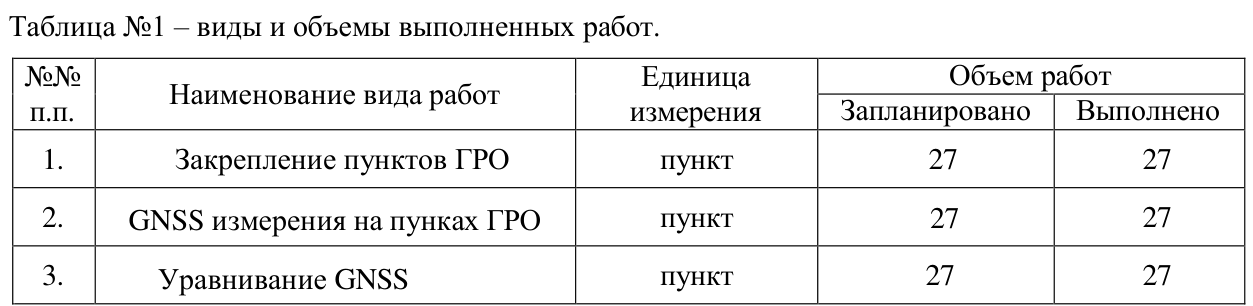
Full case study (Russian) →Topographic surveying of 78 hectares in 2024 and establishment of 27 geodetic control points in 2025. Separate reports document each scope.
Full case study (Russian) →Send the site location, a plan or a brief description. We will help define the scope, deliverables and price.